Zeitpunkt              Nutzer    Delta   Tröts        TNR     Titel                     Version  maxTL
Di 08.10.2024 00:00:02   190.326      -1    9.937.072    52,2 Mastodon                  4.3.0...   500
Mo 07.10.2024 00:00:00   190.327      -2    9.926.023    52,2 Mastodon                  4.3.0...   500
So 06.10.2024 00:00:03   190.329      -3    9.914.722    52,1 Mastodon                  4.3.0...   500
Sa 05.10.2024 00:00:05   190.332      -1    9.905.211    52,0 Mastodon                  4.3.0...   500
Fr 04.10.2024 00:00:00   190.333      -1    9.887.498    51,9 Mastodon                  4.3.0...   500
Do 03.10.2024 00:00:03   190.334      -2    9.878.838    51,9 Mastodon                  4.3.0...   500
Mi 02.10.2024 00:00:06   190.336      -2    9.870.374    51,9 Mastodon                  4.3.0...   500
Di 01.10.2024 00:00:07   190.338      -3    9.863.625    51,8 Mastodon                  4.3.0...   500
Mo 30.09.2024 00:00:08   190.341      -3    9.853.351    51,8 Mastodon                  4.3.0...   500
So 29.09.2024 00:00:03   190.344       0    9.843.604    51,7 Mastodon                  4.3.0...   500
Anne Ominous (@rustoleumlove) · 04/2022 · Tröts: 9.186 · Folger: 595
Di 08.10.2024 00:03
i just want to cry when i see this forecast language for Anna Maria Island and Bradenton, where i have family members with homes, businesses, and serious physical limitations.
"PREPARE: Strongly consider protective actions, especially
if you are in an area vulnerable to flooding.
- ACT: Heed any flood watches and warnings. Failure to take
action will likely result in serious injury or loss of life."
#Milton #hurricane #wx #ExtremeWeather #flooding

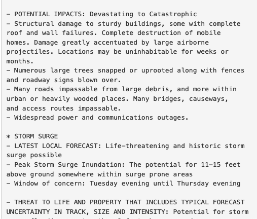
- POTENTIAL IMPACTS: Devastating to Catastrophic - Structural damage to sturdy buildings, some with complete roof and wall failures. Complete destruction of mobile homes. Damage greatly accentuated by large airborne projectiles. Locations may be uninhabitable for weeks or months. - Numerous large trees snapped or uprooted along with fences and roadway signs blown over. - Many roads impassable from large debris, and more within urban or heavily wooded places. Many bridges, causeways, and access routes impassable. - Widespread power and communications outages. * STORM SURGE - LATEST LOCAL FORECAST: Life-threatening and historic storm surge possible - Peak Storm Surge Inundation: The potential for 11-15 feet above ground somewhere within surge prone areas - Window of concern: Tuesday evening until Thursday evening
[Öffentlich] Antw.: 0 Wtrl.: 0 Fav.: 0